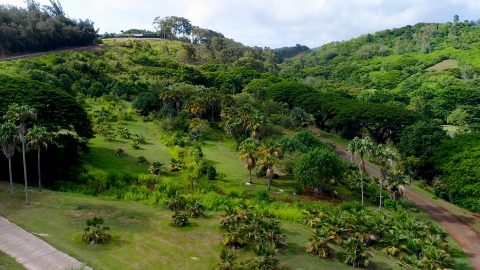
In celebration of this international biodiversity day, we’re highlighting how Arrow handheld GPS receivers are being used to save species worldwide!
In celebration of this international biodiversity day, we’re highlighting how Arrow handheld GPS receivers are being used to save species worldwide!
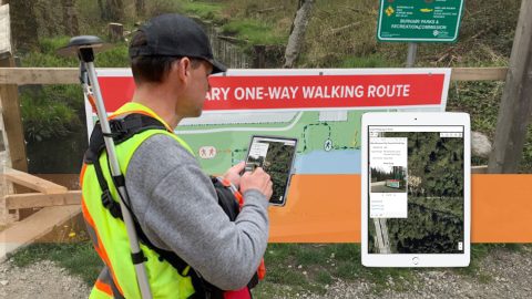
The City of Burnaby pivoted its GPS and GIS technology during COVID to map new social-distancing signs and keep the public informed.
In this Esri AEC webinar, DDSI Global shares how per-project ROI increased by 20% thanks to the use of Eos Laser Mapping for Collector during site surveys.
See how stakeholders in Texas benefitted from real-time UAV data captured and shared using ArcGIS Drone2Map, ArcGIS Online, and Eos GNSS receivers.

Meet GPS power user Kenny Ratliff, whose work has brought ROI on Oldham County Water District’s GIS investment and improved service to county residents.

Arrow Gold for Ground Control Points: Over 110,000 Japanese Americans were interned in WWII. One man is using GIS, GPS, and AR to make sure we remember.

Customer Spotlight: Pierre Kurth! Eos is honored to have a customer passionate enough to travel with us to three events to share his use of geospatial tech!
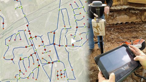
In this webinar Esri’s Christa Campbell joins Kenny Ratliff, GIS manager at Oldham County Water District to share their field mapping journey.
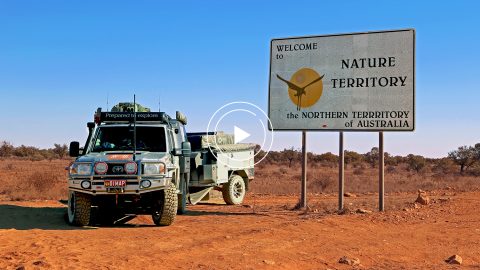
In this Esri Australia Webinar, discover the field data collection workflow Hema Maps uses to create digital and print maps with Arrow 100 and the Australia SBAS.
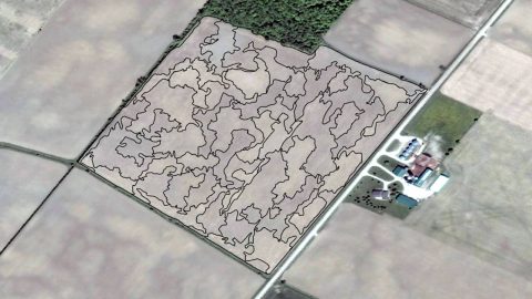
Veritas provides fertilizer and seed prescriptions by using Arrow 100 for soil sampling and processing the results in ArcGIS Pro. See how they work!