Step-by-step instructions to connect your Eos GNSS receiver to Eos Tools Pro on Android and connect to your RTK network or base station.
Step-by-step instructions to connect your Eos GNSS receiver to Eos Tools Pro on Android and connect to your RTK network or base station.
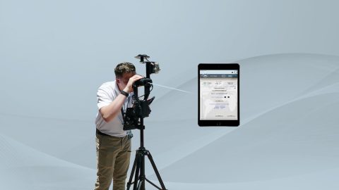
Why is the Range-Backsight laser mapping method the most efficient and most accurate? This article breaks down everything you need to know about this popular workflow.
Want to use external Bluetooth® GPS receivers in your work, but not sure where to start? Eos has compiled five resources to help you get started on your journey.
In these videos, we demonstrate data capture using 3 Eos Laser Mapping methods: Range-Azimuth, Range-Backsight, and Range-Range.
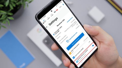
Mock Location is available in the “hidden” Developer Mode menu on your Android device. Here is how to enable it:
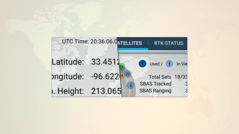
This is step 2 of 3: Pair the Arrow GNSS receiver with Android via Bluetooth Install & run the Eos Tools Pro application (Android).
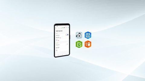
Run multiple Esri mobile apps on Android while concurrently consuming Arrow GNSS location metadata. This guide will show you how (for Android only).
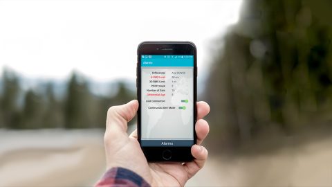
Follow a few simple steps for how to connect Arrow to Android devices. You’ll be using GNSS location on your phone or tablet in moments!
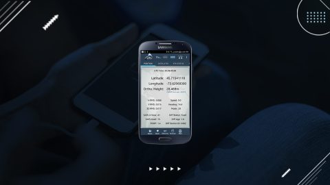
To activate the new Eos Tools Pro “Battery Status Monitor” on Android, borrow an iOS device for a few minutes and follow these steps.