Five water utilities are using high-accuracy Bluetooth® GNSS receivers to transform their mobile data collection. Here’s how.
Five water utilities are using high-accuracy Bluetooth® GNSS receivers to transform their mobile data collection. Here’s how.
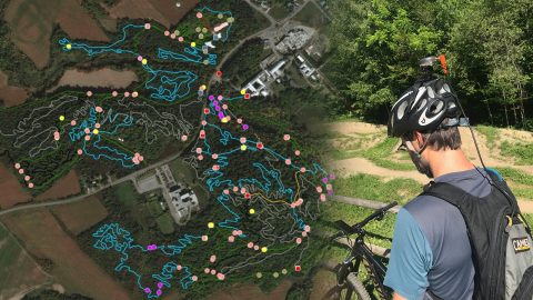
Velo Quebec uses Arrow 100® and ArcGIS QuickCapture to quickly map bike trails at speed. The data helps ensure land owners maintain the trails.
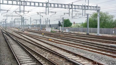
In a ground-breaking U.K. project, Arcadis captured accurate data efficiently in a live rail environment and shared in real-time to the client.
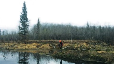
Tolko is always modernizing its mapping technology. They recently increased timber harvest by adopting Arrow 100® GNSS w/ GLONASS & Esri apps.
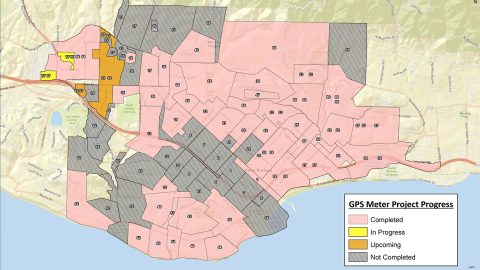
City of Santa Barbara is using an Arrow Gold® Base Station to map meters with centimeter accuracy, as city staff replace assets to respond to drought.
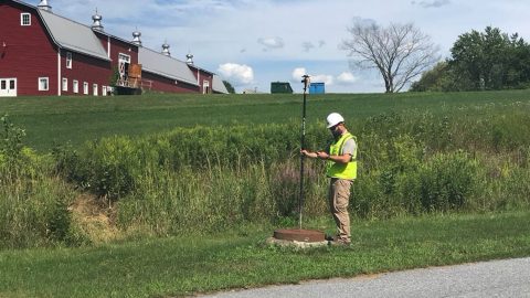
Vermont Gas Systems doubled their efficiency by switching to Arrow Gold® GNSS receivers and ArcGIS mobile apps for as-built mapping.
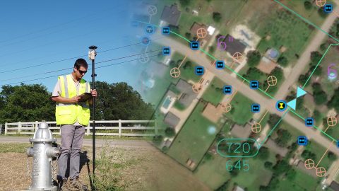
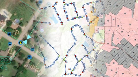
Rockett SUD streamlined field work and freed up office staff with a new rural water GNSS mapping solution that combines hardware and software from Eos and Esri.
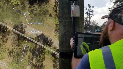
NSBU on the Florida coast needed a real-time, easy-to-use high-accuracy data collection system to replace paper redlining.
Apex Utilities uses an Arrow Gold® RTK GNSS base/rover configuration with Android tablets and ArcGIS Field Maps for tracking and traceability.
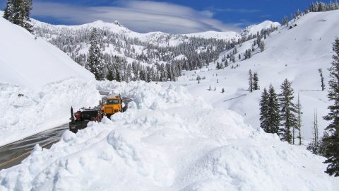
National Park Service is using Arrow Gold® RTK GNSS receivers at LAVO national park to clear tens of feet off alpine roads with cm accuracy.