Discover how Gideon improves data collection on railways projects using real-time, high-accuracy GNSS solutions.

Discover how Gideon improves data collection on railways projects using real-time, high-accuracy GNSS solutions.

Using drones, high-accuracy Eos GNSS receivers, and ArcGIS, Will is creating geospatially referenced 3D models for his clients.
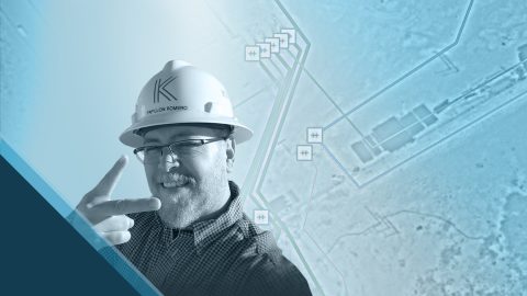
Papillon empowers employees to collect high-accuracy pipeline data efficiently and easily at the largest midstream provider in the Delaware Basin.

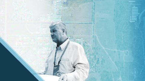
David provides community infrastructure solutions to municipalities using high-accuracy GNSS and GIS technologies.
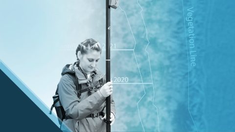
Emily Jane Murray maps coastal archaeological sites before their valuable history is lost to rising sea levels.
Benson Crowell created highly accurate site plans to improve campus maintenance across Texas. This spotlight is dedicated to his legacy.
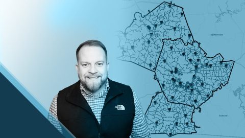
B. J. Malone implemented high-accuracy GNSS workflows to locate above and below-ground water assets precisely and efficiently.

Damon Nelton overcame many challenges to develop a real-time, GPS as-builting workflow for gas-utility construction projects.

Learn how Ellie Chao uses Eos Arrow Gold® GNSS receivers with ArcGIS Field Maps to increase trust in the accuracy of data for her utility clients.

Erin Mara uses Eos Arrow 100® GNSS receivers with ArcGIS Survey123 to save her field crew hundreds of work hours, as they serve Midwestern pipeline clients.