Priyesh Patel uses Eos Arrow 100® GNSS receivers with Esri ArcGIS® apps to aid the preservation of one of Earth’s most precious animals: bats.
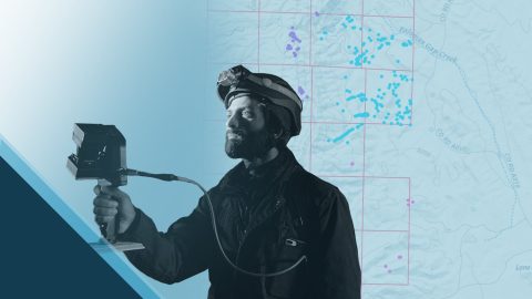
Priyesh Patel uses Eos Arrow 100® GNSS receivers with Esri ArcGIS® apps to aid the preservation of one of Earth’s most precious animals: bats.

Learn how Nora Toro uses Eos Arrow GNSS receivers to help coworkers find optimal high-accuracy data collection workflows and strengthen trust in their data.

Mike Markowski turns to modern technology to learn about stories of the past. Learn how he uses high-accuracy Arrow 100 GNSS® to uncover archaeology!

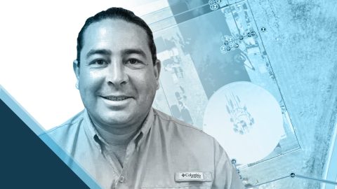
Did you know GIS might be behind your glass of wine? Learn how Summer Roberts uses GNSS to map vineyard properties in California.
Zack Henry uses an Arrow Gold® with ArcGIS Field Maps for efficient data collection for utilities. When his clients succeed, Zack succeeds — and he brings that attitude to all his work.

The moment Amber Kuehn first laid eyes on a sea turtle, she knew she would be spending her life advocating for them. Learn how she uses Arrow GNSS to protect this endangered species.

Dmitri Bagh is committed to putting the “real” in augmented reality (AR). As a passionate Scenario Creation Analyst at Safe Software, Dmitri is helping to pave the way for visually powerful, high-accuracy data collection with AR.
Dave Babicki uses the Arrow Gold® GNSS receiver with Esri ArcGIS Field Maps to ensure quicker repairs, inform decision-making, and promote collaboration across his water district.
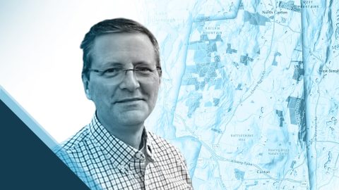
Steve Perry founded Sperry Geospatial, which today creates trust in land trust maps. Learn how Steve uses ArcGIS Field Maps and Arrow GNSS receivers to deliver customers superior, reliable results.

As a GIS Specialist at Colliers Engineering & Design, Amanda Paton understands clients’ needs, collects GIS data, and analyzes it to make sure needs are met.