Thomas Shifflett uses high-accuracy GNSS to help locate hidden cave entrances in the dense jungles of Oaxaca, Mexico.
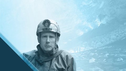
Thomas Shifflett uses high-accuracy GNSS to help locate hidden cave entrances in the dense jungles of Oaxaca, Mexico.
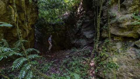
PESH is on a mission to explore and map México’s Sistema Huautla. The Arrow 100 GNSS receiver is helping them prove their survey findings.
Aaron Krohn prepares his utility for the future by improving field accuracy and efficiency, in part thanks to GNSS.

Learn how Sarah uses GNSS and GPR to map gravesites at Indigenous Residential Schools with precision and respect.

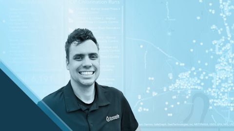
Charles amps up accuracy for his electric utility clients through easy-to-implement GNSS and GIS solutions.
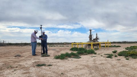
In the Delaware Basin, Texas midstream pipeline operator Kinetik has transformed GIS and location accuracy in the field and office.
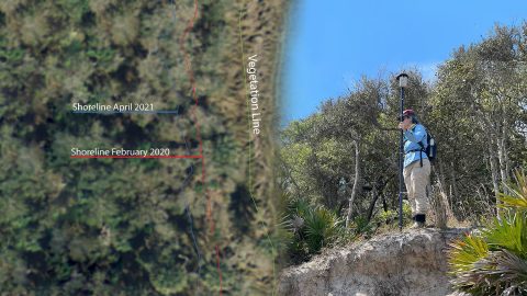
FPAN archaeologists and volunteers map historical sites and coastal erosion (in 3D!) to quantify erosion rates as Florida’s sea levels rise.
By modernizing its GNSS technology, Sheboygan Falls Utilities overcame challenges posed by decades-old as-built data.
Sarah Beaulieu combines GPR and GNSS to locate grave locations at Indigenous Residential Schools across Canada.