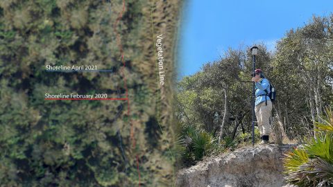
FPAN archaeologists and volunteers map historical sites and coastal erosion (in 3D!) to quantify erosion rates as Florida’s sea levels rise.
FPAN archaeologists and volunteers map historical sites and coastal erosion (in 3D!) to quantify erosion rates as Florida’s sea levels rise.
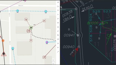
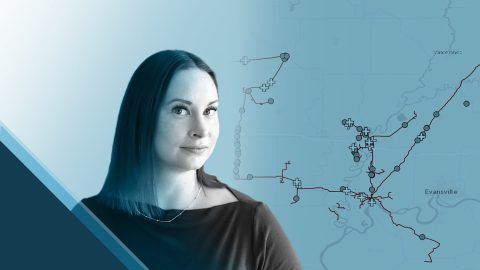
By modernizing its GNSS technology, Sheboygan Falls Utilities overcame challenges posed by decades-old as-built data.
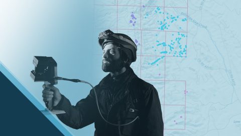
Damon Nelton overcame many challenges to develop a real-time, GPS as-builting workflow for gas-utility construction projects.
Sarah Beaulieu combines GPR and GNSS to locate grave locations at Indigenous Residential Schools across Canada.
New Jersey American Water is saving $2.6M per year in OpEx by knowing a million asset locations with survey-grade accuracy.
Learn how Terraformation is combatting climate change by using high-accuracy GNSS / GIS to increase accountability for global reforestation projects.
Erin Mara uses Eos Arrow 100® GNSS receivers with ArcGIS Survey123 to save her field crew hundreds of work hours, as they serve Midwestern pipeline clients.
Priyesh Patel uses Eos Arrow 100® GNSS receivers with Esri ArcGIS® apps to aid the preservation of one of Earth’s most precious animals: bats.
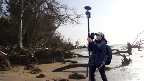
Learn how the South Carolina Department of Natural Resources uses high-accuracy GNSS to excavate artifacts before they are lost to climate change.
I had absolutely no prior experience or training with GIS, so I was surprised how easy it eventually wound up being to adopt mapping software with the Arrow GNSS location accuracy.