Mike Markowski turns to modern technology to learn about stories of the past. Learn how he uses high-accuracy Arrow 100 GNSS® to uncover archaeology!
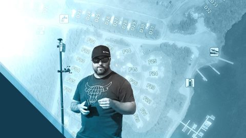
Mike Markowski turns to modern technology to learn about stories of the past. Learn how he uses high-accuracy Arrow 100 GNSS® to uncover archaeology!
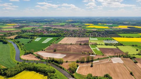
Since Germany reunited in 1990, the BVVG has been dedicated to privatizing lands formerly owned by East Germany. See how their mapping technology has evolved over decades.
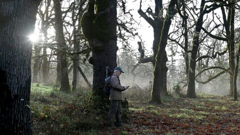
The Nature Conservancy of Canada uses Eos Arrow GNSS receivers to preserve the endangered Garry oak ecosystems and the many unique species they nourish.
Bat Conservation International locates bat-friendly habitats with a combination of Esri ArcGIS Apps (e.g., Survey123) and Arrow GNSS receivers.

The moment Amber Kuehn first laid eyes on a sea turtle, she knew she would be spending her life advocating for them. Learn how she uses Arrow GNSS to protect this endangered species.
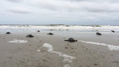
A nonprofit group in South Carolina uses location-based technology to protect sea turtles, so they can safely hatch and go home to the ocean.

In this Eos / Directions Magazine webinar, two users of high-accuracy GNSS receivers demonstrate how they implemented and improved high-accuracy data collection.
Four panelists share their experiences using Arrow GNSS receivers with ArcGIS apps and take audience questions.
The National Trust upgraded their GPS technology to accurately map fence lines and check boundaries to show where land ownership ends.