Tolko is always modernizing its mapping technology. They recently increased timber harvest by adopting Arrow 100® GNSS w/ GLONASS & Esri apps.
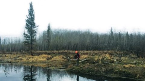
Tolko is always modernizing its mapping technology. They recently increased timber harvest by adopting Arrow 100® GNSS w/ GLONASS & Esri apps.

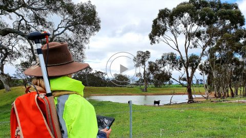
KimPro Energy uses Arrow Gold® GNSS — mounted on backpacks and vests — to innovate with their field data collection for energy / environmental use cases.
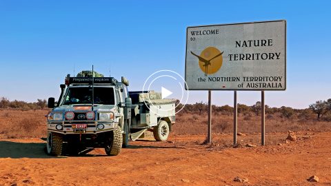
Hear how one Australian company uses Arrow 100® for heritage management alongside ArcGIS Collector. Originally presented at Ozri 2020.
When some City of Sarasota employees were temporarily idled by the COVID-19 shutdown, the city found an innovative way to transition them to high-accuracy GIS field work by renting 14 Arrow 100® GNSS receivers.
In celebration of this international biodiversity day, we’re highlighting how Arrow handheld GPS receivers are being used to save species worldwide!
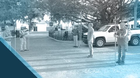
A Florida city deployed aggressive data-collection projects to keep idle staff productive during COVID-19 lockdown. Sarasota is using Arrow 100 with Collector on iOS.

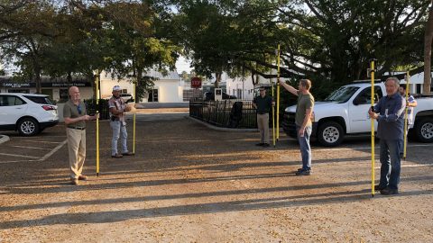
Customer Spotlight: Pierre Kurth! Eos is honored to have a customer passionate enough to travel with us to three events to share his use of geospatial tech!
In this Esri Australia Webinar, discover the field data collection workflow Hema Maps uses to create digital and print maps with Arrow 100 and the Australia SBAS.
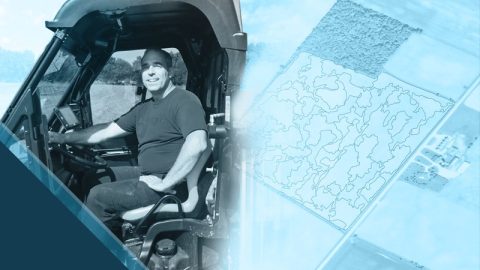
Steve Laevens amazed us with his passion for serving customers of Veritas Farm Management. See how Steve does soil sampling with Arrow 100 in our inaugural Customer Spotlight: Steve Laevens.
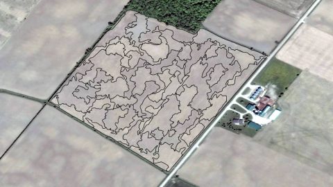
Veritas provides fertilizer and seed prescriptions by using Arrow 100 for soil sampling and processing the results in ArcGIS Pro. See how they work!