Browse 5 of our favorite examples of municipalities improving their communities by using SBAS corrections with the Arrow 100®.
Browse 5 of our favorite examples of municipalities improving their communities by using SBAS corrections with the Arrow 100®.
We purchased our units from 4D Global, and the support from Peter Terrett has be amazing. His knowledge of the product, its capabilities, and his capacity to supply additional units/ items at short notice is outstanding. We have been really impressed with the Arrow 100® units.

Using an Arrow 100 GNSS receiver and Esri’s ArcGIS, Brian Tucker helps protect Hawaii’s most abundant native tree from a fungal pathogen.
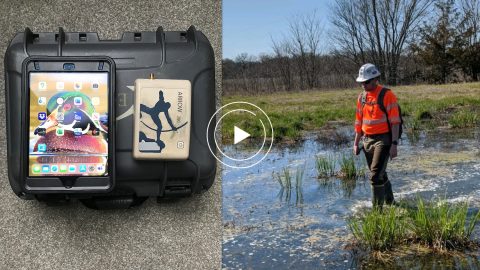
Environmental Solutions & Innovations switched to Ecobot app and Arrow GNSS to replace a slow and cumbersome legacy mobile mapping solution.

GIS is more than just a job to Ronald Stith Lopez. It’s a way to improve people’s lives. Learn how Ronald uses GNSS across Peru and Colombia.

Scott Denham uses Arrow GNSS and the Ecobot app for wetlands management projects. Learn what drives Scott to find the most efficient tech.
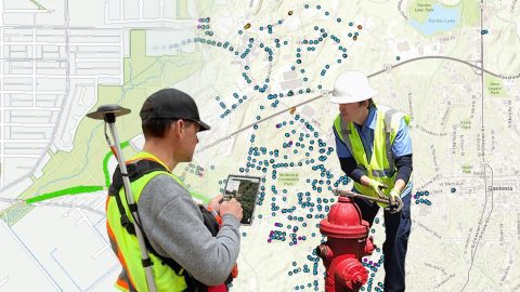
Five water utilities are using high-accuracy Bluetooth® GNSS receivers to transform their mobile data collection. Here’s how.
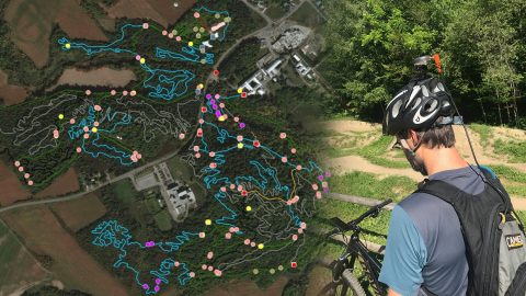
Velo Quebec uses Arrow 100® and ArcGIS QuickCapture to quickly map bike trails at speed. The data helps ensure land owners maintain the trails.
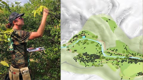
In Hawaii, NTBG’s staff have turned the gardens and preserves into safe havens for at-risk species. They use high accuracy to track plants.
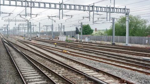
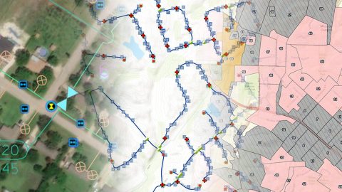
In a ground-breaking U.K. project, Arcadis captured accurate data efficiently in a live rail environment and shared in real-time to the client.