The Bluetooth® connection between the Arrow and your Android™ device is most commonly lost when multiple field apps attempt to connect to the Arrow simultaneously. Only one app can be connected to an Arrow via the Bluetooth connection.
Option 1: If you require RTK corrections then it is required that you install and configure Eos Tools Pro as the mock location provider. When ETP is set as the mock location provider the app will populate the Android location service with RTK positions and the GNSS metadata from the Arrow.
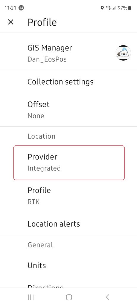
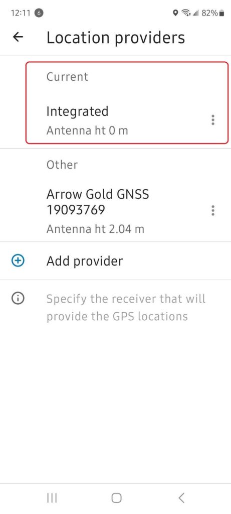
In your Field Maps profile, you might be tempted to select the Arrow GNSS option. The trick here is to select the Integrated location provider. The Integrated location provider reads the Android location service which ETP is overwriting with RTK positions from the Arrow (not the devices integrated GPS).
Make sure you chose “Integrated” as your provider:


Click here for help on how to enable the mock location on Android devices.
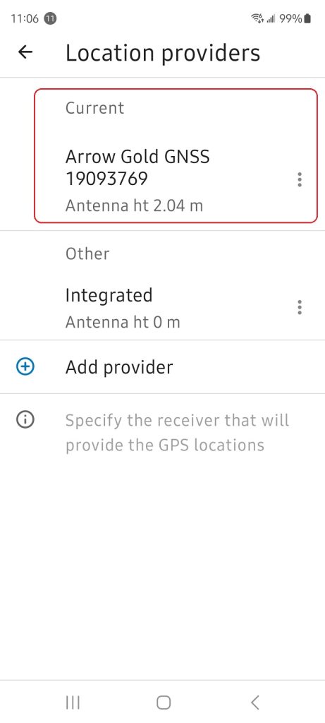
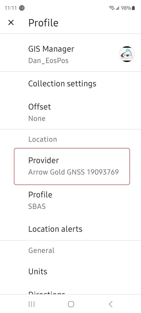
Option 2: If you do not require RTK corrections and SBAS, Atlas or Galileo HAS will be your source for differential corrections then you do not need to use Eos Tools Pro and the mock location. In ArcGIS® Field Maps, you can set your location provider to the Arrow GNSS receiver.


It is highly recommended to install Eos Tools Pro even if you do not require RTK corrections. ETP is free and provides the field user with a GNSS monitoring tool that will provide information on GNSS status, accuracy, and alarm notifications.
Still Need Help? Contact Technical Support
If you are still unable to resolve your issue, reach out to our tech support team.

