This video will walk you through all the parts that belong in your rugged field case, and how to mount your Arrow Gold GNSS receiver to a pole.
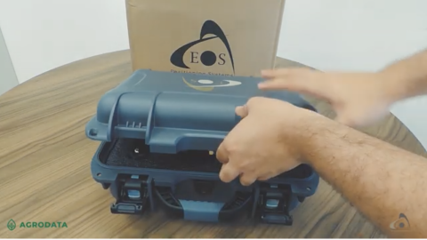
This video will walk you through all the parts that belong in your rugged field case, and how to mount your Arrow Gold GNSS receiver to a pole.
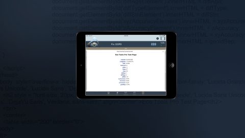
Learn how to run your HTML5 app in Eos Tools Pro to access GNSS metadata in your own app, with full access to all Eos Tools Pro features (e.g., alarms, NTRIP).
Learn why you’d want to capture high-accuracy data in Esri Collector in this short video from Esri, including sample field-data collection scenarios.
Learn to record orthometric heights in Collector Aurora. Follow along with written resources, screenshots and video tutorial in this article.
In this 3-minute tutorial, you’ll learn how to collect geoid height with Arrow in real time by configuring Eos Tools Pro and ArcGIS Collector.
High-accuracy data collection has come a long way since the USA launched the first GNSS constellation, GPS, in the 1970s. Today, all you need to get started with submeter or centimeter data collection is a smart device, a collection app, and a GNSS receiver that works with both.
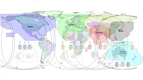
What is SBAS? In this article, discover how to get real-time submeter differential corrections for free, and where it’s possible.

How can you get high-accuracy data corrections in the world’s most remote areas? In this article, Eos explains two options: Atlas® service or SafeRTK®.
What is the difference between the ellipsoid, mean sea level, geoid, geoid height, and orthometric height? Here’s everything to know about elevation.
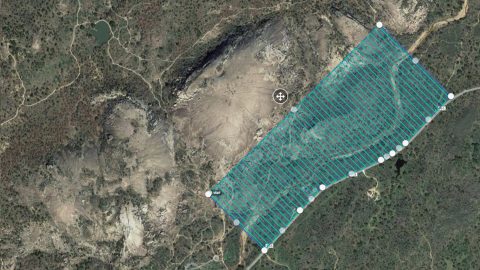
See how UAVs and Arrow GNSS receivers can be used together to achieve accuracy and precision via GCPs for survey-grade drone projects.