This article provides step-by-step instructions for setting your Eos GNSS receiver as the location provider in ArcGIS Field Maps on iOS devices.
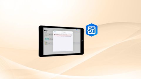
This article provides step-by-step instructions for setting your Eos GNSS receiver as the location provider in ArcGIS Field Maps on iOS devices.
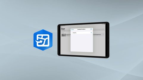
Learn how to configure location provider and location profile in ArcGIS Field Maps for Arrow GNSS receivers.
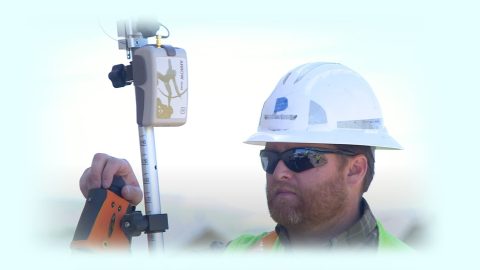
Why is the Range-Backsight laser mapping method the most efficient and most accurate? This article breaks down everything you need to know about this popular workflow.
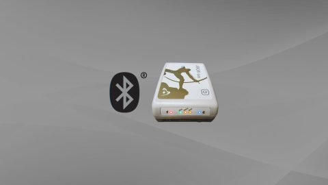
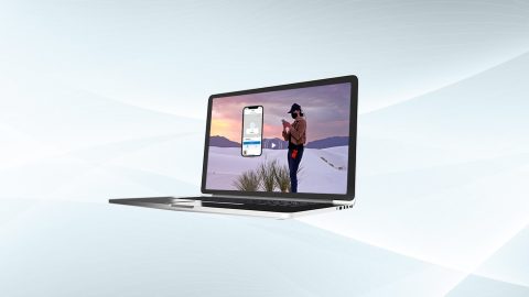
Want to use external Bluetooth® GPS receivers in your work, but not sure where to start? Eos has compiled five resources to help you get started on your journey.
Dans cette présentation, nous vous proposons également une démo et discussions autour de la solution/workflow : Eos Locate™ en lien avec ArcGIS Field Maps.
Got CartoPac and GPS? CartoPac and Eos have partnered to bring a complete high-accuracy mobile data-collection solution to customers in gas, utility, and related industries.
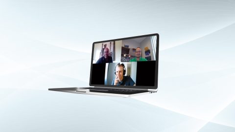
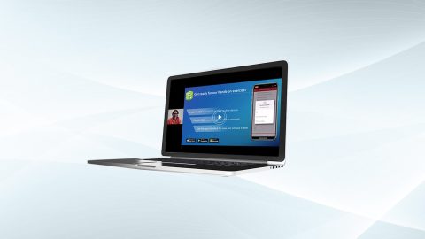
Eos is pleased to offer a free training workshop for those who wish to use Arrow GNSS receivers with Esri’s ArcGIS Field Maps. Request the recording here.
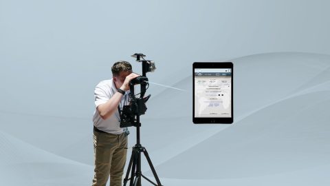
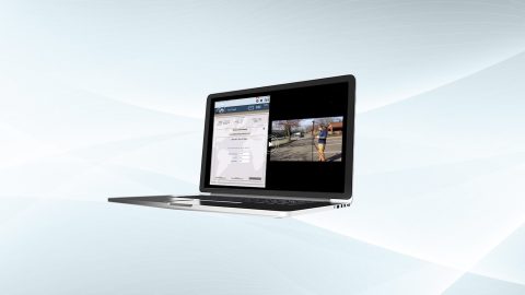
In these videos, we demonstrate data capture using 3 Eos Laser Mapping methods: Range-Azimuth, Range-Backsight, and Range-Range.
Eos is pleased to offer a free training workshop for professionals interested in using Esri’s ArcGIS Survey123 application with Arrow GNSS receivers.
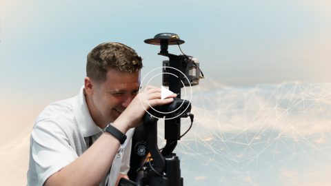
Eos is pleased to offer a free training workshop for Eos Laser Mapping™ with ArcGIS Field Maps. Learn how to map assets from afar while retaining high accuracy.