In the fifth and final Eos Locate tutorial, you’ll learn how to collect underground assets with Eos Locate outdoors with a recorded demonstration.
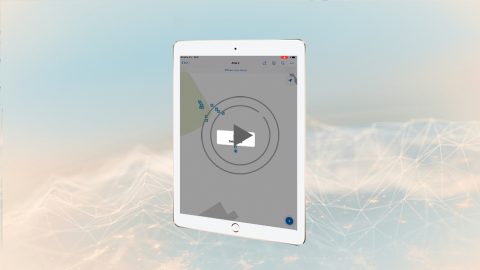
In the fifth and final Eos Locate tutorial, you’ll learn how to collect underground assets with Eos Locate outdoors with a recorded demonstration.
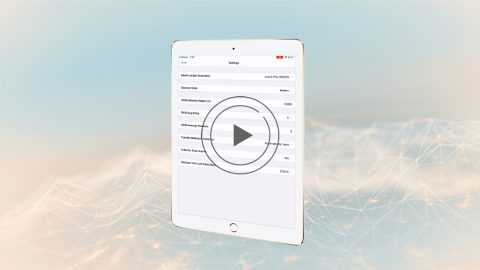
In video 4 of the Eos Locate underground mapping tutorials, you’ll learn how to configure mobile app settings for Eos Locate and ArcGIS Collector.
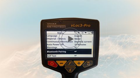
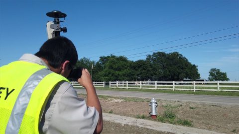
In the third Eos Locate video tutorial, you’ll go through the steps of pairing your vLoc Locator to iOS via Bluetooth for use with underground mapping.
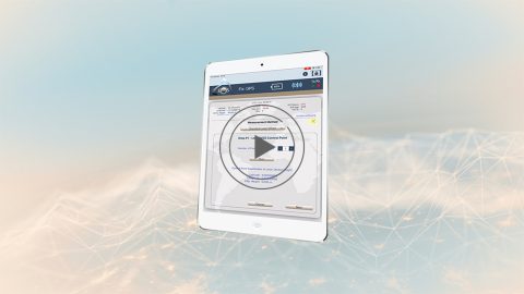
In this second Eos Laser Mapping video, you’ll learn how to set up Collector and Eos Tools Pro for laser offsets. Set alarms, orthometric height and more!
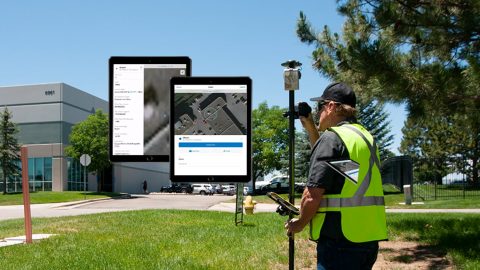
The Laser Offset Guide for Collector is intended to help you configure ArcGIS Collector® and Eos Tools Pro so you can begin to capture laser offsets.
Follow a few simple steps for how to connect Arrow to iOS including iPad and iPhone. You’ll be using GNSS location on your phone or tablet in moments!

While awaiting a permanent fix from Apple, Eos released a patch for affected customers to fix the iOS 12.2/12.3 bluetooth disconnect issue. Follow our steps.
To activate the new Eos Tools Pro “Battery Status Monitor” on Android, borrow an iOS device for a few minutes and follow these steps.
From setting up attributes to configuring Collector and Eos Tools Pro, get ready to learn how to Configure ArcGIS, ArcGIS Collector, and Eos Tools Pro.
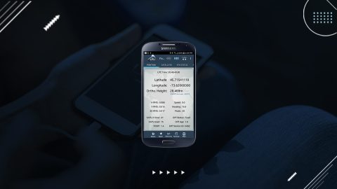
High-accuracy data collection has come a long way since the USA launched the first GNSS constellation, GPS, in the 1970s. Today, all you need to get started with submeter or centimeter data collection is a smart device, a collection app, and a GNSS receiver that works with both.