Did you know GIS might be behind your glass of wine? Learn how Summer Roberts uses GNSS to map vineyard properties in California.

Did you know GIS might be behind your glass of wine? Learn how Summer Roberts uses GNSS to map vineyard properties in California.
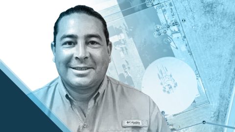
Zack Henry uses an Arrow Gold® with ArcGIS Field Maps for efficient data collection for utilities. When his clients succeed, Zack succeeds — and he brings that attitude to all his work.

In this Eos / Directions Magazine webinar, two users of high-accuracy GNSS receivers demonstrate how they implemented and improved high-accuracy data collection.
Dmitri Bagh is committed to putting the “real” in augmented reality (AR). As a passionate Scenario Creation Analyst at Safe Software, Dmitri is helping to pave the way for visually powerful, high-accuracy data collection with AR.
By replacing physical boundary markers with highly accurate digital records, ADF Haiti enabled the deployment of modern machine technologies that improve farmers’ yield while retaining trust.
Four panelists share their experiences using Arrow GNSS receivers with ArcGIS apps and take audience questions.
Learn best practices for deploying high-accuracy Arrow GNSS receivers with Esri’s ArcGIS Field Maps. This webinar includes a customer presentation about his deployment, including demonstrations and Q&A.
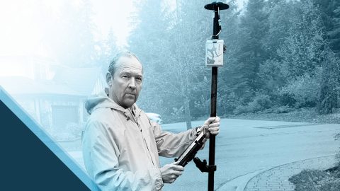
Dave Babicki uses the Arrow Gold® GNSS receiver with Esri ArcGIS Field Maps to ensure quicker repairs, inform decision-making, and promote collaboration across his water district.