Previously it took 3rd-party contractors 1+ year to deliver Wilmington’s CAD as-builts. Now with ArcGIS Field Maps and Arrow GNSS, it’s near real time.
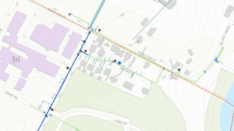
Previously it took 3rd-party contractors 1+ year to deliver Wilmington’s CAD as-builts. Now with ArcGIS Field Maps and Arrow GNSS, it’s near real time.
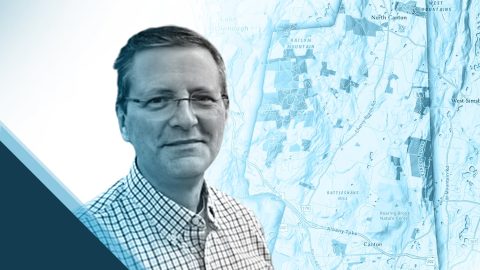
Steve Perry founded Sperry Geospatial, which today creates trust in land trust maps. Learn how Steve uses ArcGIS Field Maps and Arrow GNSS receivers to deliver customers superior, reliable results.

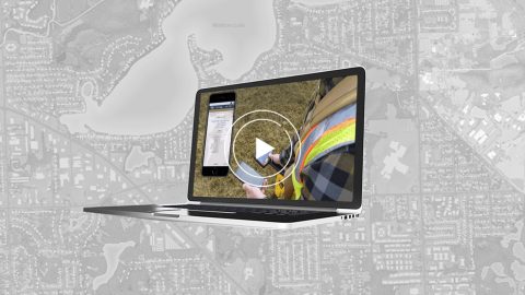
As a GIS Specialist at Colliers Engineering & Design, Amanda Paton understands clients’ needs, collects GIS data, and analyzes it to make sure needs are met.
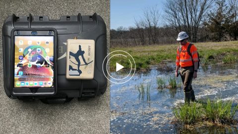
Environmental Solutions & Innovations switched to Ecobot app and Arrow GNSS to replace a slow and cumbersome legacy mobile mapping solution.
In this webinar, Esri, OHM Advisors and Eos explore underground utility mapping with Eos Locate™ for ArcGIS®, including a utility case study.
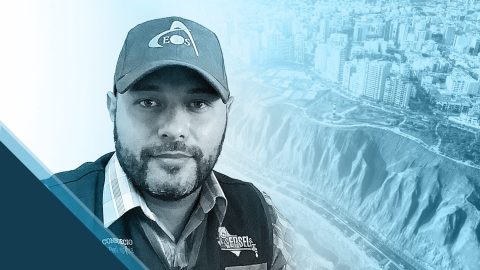
GIS is more than just a job to Ronald Stith Lopez. It’s a way to improve people’s lives. Learn how Ronald uses GNSS across Peru and Colombia.

Scott Denham uses Arrow GNSS and the Ecobot app for wetlands management projects. Learn what drives Scott to find the most efficient tech.

Mike Kolody turned his childhood love of cartography into a career. Today he helps clients modernize mobile GIS and GNSS mapping workflows.
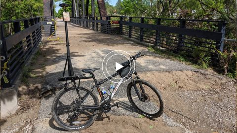
In this 2020 MiCAMP session, OHM shows how they used a GPS Smart Bike (Arrow GNSS, ArcGIS QuickCapture) to map Midland County flood damage.
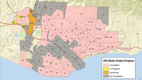
City of Santa Barbara is using an Arrow Gold® Base Station to map meters with centimeter accuracy, as city staff replace assets to respond to drought.